Franz Ludwig Pfyffer (1716–1802) [1]

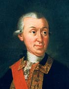
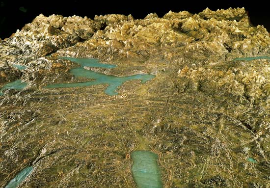
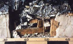
The Swiss Franz Ludwig Pyffer von Wyher served in the French army as lieutenant general. In Paris, Pfyffer came in contact with the French terrain modelling school. After his retirement in 1769, he returned to his hometown Lucerne and began surveying a part of Central Switzerland around the Lake Lucerne. This area lacked accurate terrain maps until then. By using the latest measurement techniques available at that time, he spent 24 years from 1762 to 1786 to create maps and a large terrain model. Pfyffer created the largest model of the Alps built so far with a size of 390 x 670 cm and a scale of approximately 1:11,500, without vertical exaggeration. He used several materials like pulverised brick, clay, pulverised charcoal, putty, pitch, cardboard and wax [2]. It was the best topographic representation of this area at that time. But only a few years later, Joachim Eugen Müller (1752–1833) produced considerably better models of the same region. Pfyffer had a pioneering role as a surveyor for this alpine region, since he needed elevation information as exact as possible for his terrain model. He was the first one to apply the method of triangulation to such a large territory in the central Swiss Alps.
Pfyffers terrain model is considered the world’s oldest large-scale landscape relief and a pioneering work of Swiss cartography. It can be visited at the Glacier Garden in Lucerne.

Glacier Garden Lucerne

Glacier Garden Lucerne
