
Reliefs for illustrations
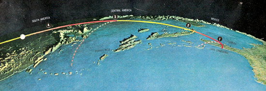
Illustration of the first planned space flight of an artificial satellite using a relief globe in the Look magazine no. 1 1957 (in fact, the first space flight was performed by the Sowjets in 1957) [1].
Today, aerial photos and satellite images are easily available for various terrains. But until well into the 1950s, satellite imagery was non-existent. Thus photographs of relief globes of the earth were used to explain the first planned flights of satellites and to show the globe. Furthermore, projected buildings can be illustrated with a photo of a part of an urban relief showing the planned construction.
[1] "Geo-physical" globe, scale about 1:7,000,000 (diameter 6 feet), vertical exaggeration between 80:1 and 10:1 for high mountains, rubber version.
See: Briesemeister, William. Some three-dimensional relief globes, past and present. 1957. p.255-269. and Wilson, Jack. The world in space. The Look geographical atlas. 1957.