Natural science
Map collection ETH Zurich
Geology
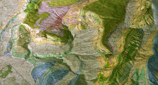
Geologically painted reliefs have a long tradition, since in mountainous regions geology is often very complicated. The three-dimensional models facilitate the understanding of spatial and temporal interrelations of different geological formations. However, besides the edges of the model, it is not possible to give a real 3D image of the substratum; it remains a 2.5D representation. Only if the surface is transparent, underground features can be illustrated. Thus it is possible to, for example, show groundwater flows.
Naturmuseum Winterthur
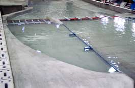
Hydraulic models
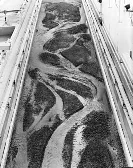
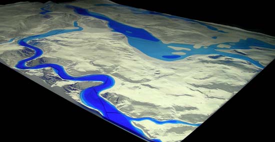
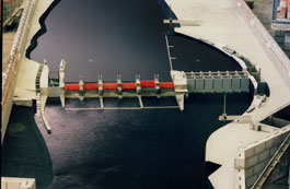
Models of water bodies are interesting to study as they contribute much to the understanding of various aspects of hydrology. For example, they help to understand the morphologically dynamic processes of rivers to provide sustainable flood protection. From the models it is possible to gather information about the behaviour of water in case of storm or flood and to understand internal flow features around bridges and piers. These models can also be used to prevent bridge collapses initiated by scour during a flood. The consequences of hydraulic engineering projects on the flowing pattern can also be studied.
